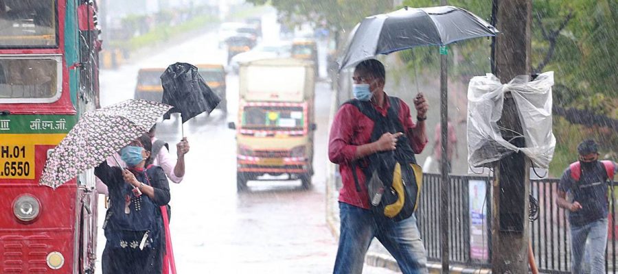
"When Tauktae had developed, we gave the monsoon onset date over Kerala to be May 31, with plus minus four days, which is a day before its normal onset date of June 1," says KS Hosalikar.
Ahead of the onset of monsoon, KS Hosalikar, head of surface instrument division, climate research, India Meteorological Department, Pune, talks to The Indian Express about the repeated breakdown of Mumbai’s Doppler radar system and challenges of weather forecasting. Excerpts:
What is the forecast for the onset of monsoon in Maharashtra?
The normal expected onset date over Maharashtra is June 10. It is expected to cross Mumbai latitude by June 15. Between June 20 and 25, it is expected to cover the entire state. These are the normal monsoon onset dates. Even after the arrival of monsoon over Kerala, we never really give arrival dates for Maharashtra or any state, as there is no scientific support or calculations that show if the monsoon over Kerala has come on a particular date, it will reach Maharashtra in 10 or 15 days. What we give is favourable conditions of the movement of monsoon for 48 hours. The Southwest monsoon covered North Andaman sea and Andaman and Nicobar Islands as of May 22. The IMD has forecast the arrival of the Southwest Monsoon over Kerala on May 31, with a model error of plus/minus four days. First, let it come to Kerala, then we can forecast its further movement.
Will the development of ‘extremely severe’ Cyclone Tauktae near the West coast and landfall in Gujarat in the pre-monsoon period delay the onset of the Southwest monsoon in Maharashtra?
When Tauktae had developed, we gave the monsoon onset date over Kerala to be May 31, with plus minus four days, which is a day before its normal onset date of June 1. Tauktae is probably going to help the arrival of the monsoon. But at that time, Cyclone Yaas developing in Bay of Bengal was not there in the picture. So, we will wait and watch if Yaas is going to make any difference over the arrival of the monsoon. On May 26, Yaas is very likely to make landfall over Odisha and West Bengal region.
What is IFLOWS, the flood forecasting system launched in Mumbai last year? How does it work?
It is an integrated flood warning system for Mumbai developed by National Centre for Coastal Research, Chennai, Indian Institute of Tropical Meteorology, Pune, IMD and National Centre for Medium Range Weather Forecasting. The BMC has provided a high-resolution elevation map, ward map, GIS map for the city. The system developed incorporates weather models, tide levels, field data from the rain gauge network of 165 stations. Based on it, flood advisories are generated 24 to 48 hours in advance. This has the capacity to generate the likely height that the floodwater could attain at a different location, ward wise. We are planning to relay alerts of flood on a six-hourly basis as well. It was used last year and will be in use this monsoon as well. It is a dynamic system. Based on the input from different agencies, it will definitely be updated. It will work better in future if the elevation map gets updated as construction progresses in the city that is changing the topography of the region.
Thrice since 2017, the Doppler radar at Colaba has been non-functional when a cyclone has brushed past the Mumbai coast. It was also non-functional in 2019 and 2020, during extremely heavy rain. What is the reason behind repeated breakdowns?
The technology used in the Doppler radar is not old, and the machine’s age has nothing to do with its breakdown. The IMD uses a far older radar than the Mumbai one, on its East coast and functioning well. Currently, with this radar (at Colaba), there are some technical issues. The repair work has been initiated. A city like Mumbai, at least, should have two radars. We are going to have an additional C-Band Doppler radar in Goregaon, and it is expected to be functional this monsoon. It was delayed because of Covid-19 restrictions. It will have a range of 250 to 300 km and will cover the entire Mumbai, North Konkan and part of Arabian Sea also. Probably, Mumbai and the region around will not have any difficulty during the monsoon. The IMD has also planned four X-Band radars that have a surveillance radius of 100 km, in Mumbai, Thane, Navi Mumbai, Vasai-Virar, but were delayed. Mumbai was selected for the X-band radar. Based on its results, others might be planned in major cities of the country as well.
Source: Read Full Article


